Recollecting Landscapes
20.May.06

Contemporary landscapes change at various rhythms. Which aspects of a landscape change? How can we find out about them?
Since the nineteenth century, numerous photographic inventories have been made of the historical and natural heritage. In order to understand the rapid and often unforeseen developments, we need a means of observation that is able to analyse them. This is why we have taken documentary photography as the starting point for Recollecting Landscapes. Not only ‘recollection’, but also ‘re-collection’.
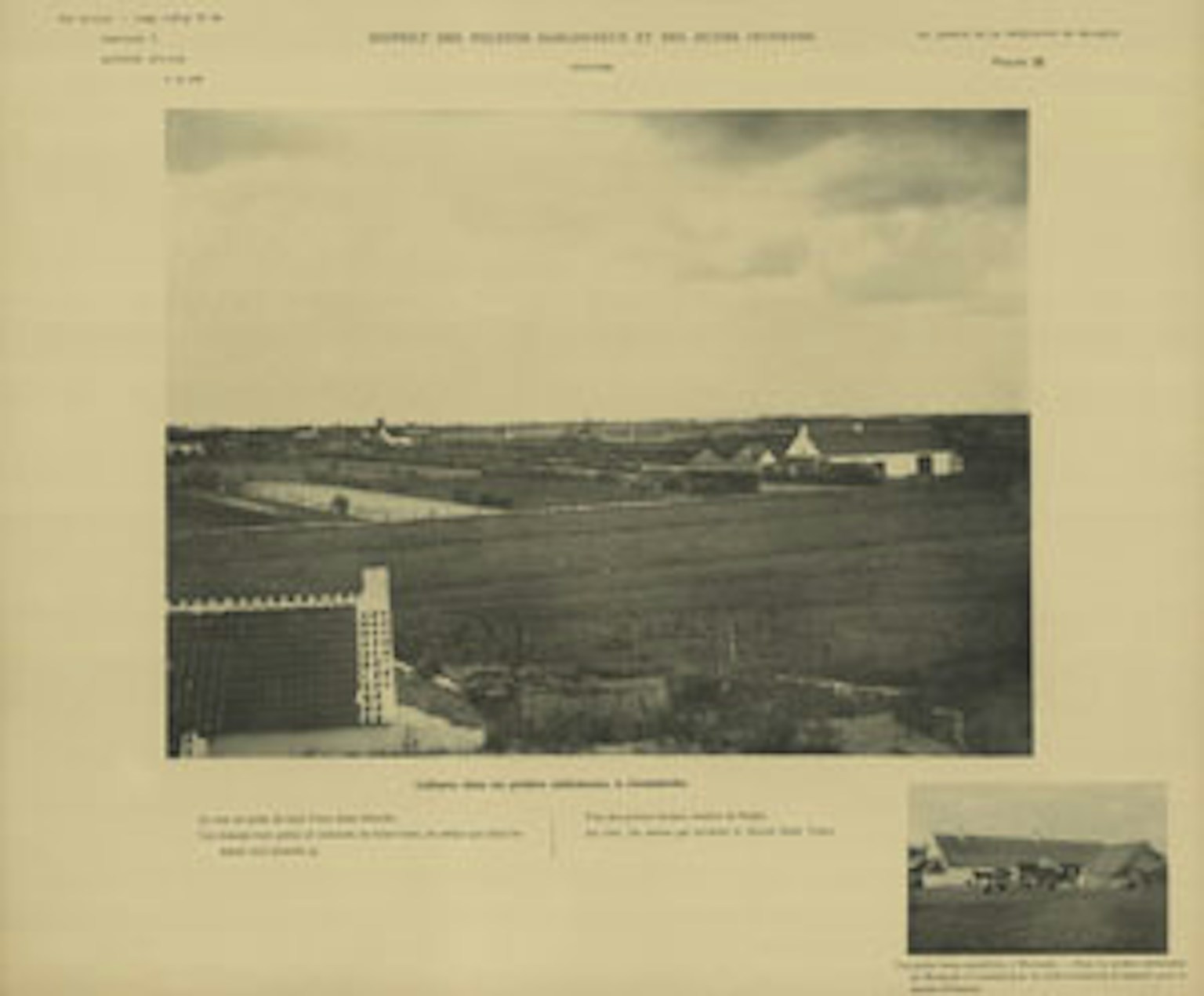
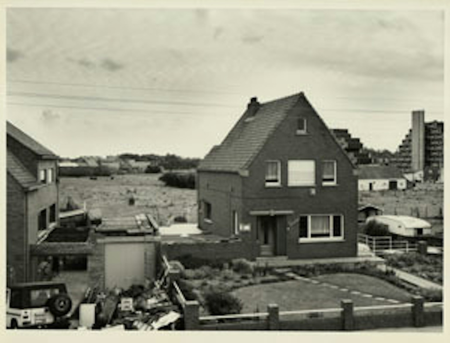
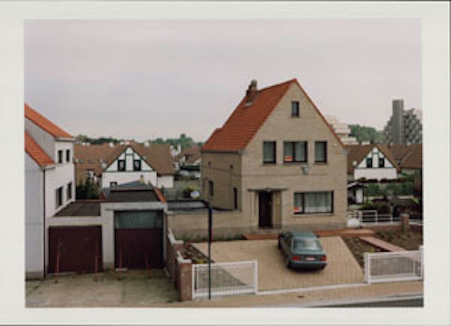
A limited but extraordinary collection of landscape photos was put together in the course of a hundred years. It comprises three series of pictures depicting exactly the same places in the Belgian landscape at three different times over a century. The photographic inventory Jean Massart started in 1904 was intended as a basic educational resource on the various natural landscapes in Belgium and their geographical relationships. Massart’s intention was to publish this survey in ten albums of loose sheets under the title Les aspects de la végétation en Belgique. Since the war prevented him from completing the job, only two were published, amounting to a hundred and sixty pictures of landscapes, mainly in Flanders. In 1980 the photographer Georges Charlier and the botanist Leo Vanhecke were commissioned to re-photograph sixty of these locations by the National Botanical Garden and the Association of Belgian Nature and Bird Reserves. The camera position and framing were identical to those of Massart. Despite the fact that Massart had scientifically recorded every camera position by means of coordinates, the orientation of the picture, altitude and place name, errors appeared to have crept in, most of which Charlier and Vanhecke were able to correct. Twenty-five years ago, these two series were included in an exhibition entitled Landscapes in Flanders past and present. From green poverty to grey abundance, which was intended above all to show the impoverishment of the landscape. It was accompanied by a book of the same title. Whereas Massart’s botanical landscapes also depicted the poverty of the nineteenth-century countryside, three-quarters of a century later it was characterised by an excess of greyness. Looking from one series to the other, one is shocked by the radical difference between the era before the two world wars and the one that came after. In the early twentieth century the rural element dominated, with farmers working in the fields wherever one looked, and nature was still the most essential component. By 1980 urbanisation had reached out in every direction. In 2002, on the basis of these photos, the Urban Planning Lab at Ghent University started researching the transformation of the landscape and the processes of urbanisation. In consultation with them, the Flanders Architecture Institute gave Jan Kempenaers the task of photographing the same landscapes yet again, with the aim of stimulating public debate on the topic. This new series, shot in 2003 and 2004, takes a different direction in its reflection on the landscape. Kempenaers keeps to his own visual idiom. His colour photos, with their low contrast and often pale, if not white, skies, create landscapes without seasons. Whereas Massart, as a botanist, focused on the foreground in order to clarify the relationship between plants, their broader biotope and their continuity with the landscape, Kempenaers creates a break between subject and object. In his work, the link between the position of the photographer and the landscape is broken. He also makes occasional slight adjustments to the framing and picture format used by Massart and Charlier. As a consequence the horizon is often lower down the picture. Massart constructed a scientifically coherent picture,
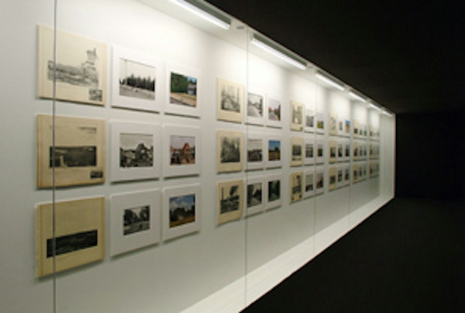
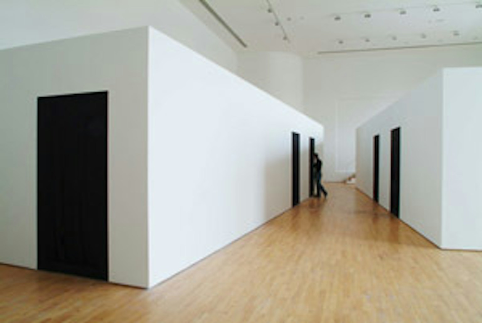
Charlier let the landscape flow in, while Kempenaers creates a screen. In the course of time a collection such as these three series evolves from a panoramic observational instrument into an intelligent memory bank. The photos do not have an independent existence, but are part of a ‘chronophotographic’ series. Chronophotography was developed in the nineteenth century and consists in taking a series of photos of a moving object at regular intervals. Eadweard Muybridge in the United States and Etienne-Jules Marey in France were the first to use this method to visualise the motor and mechanical systems of moving and running people and animals, the path of falling and colliding objects, the twisting of wisps of smoke and the flight of birds. When viewed in series, these pictures suggest (and reconstruct) movement and can be considered the forerunners of film. The Massart-Charlier-Kempenaers collection is an aggregate of chronophotographic triptychs. Analogously to chronophotography, the pictures suggest a movement that progresses very slowly, with the speed of transformations in the landscape. The research done on these series of photos in several disciplines at Ghent University has revealed the developments the Flemish landscape has undergone in terms of agriculture and urban development, biodiversity, infrastructure, industrial development, leisure activities and housing. The research goes into the analogy between the chronophotographic film of the landscape and the idea of an underlying ‘scenario’. It is based both on cartography and written history and also on the close observation of the places in question, on conversations with inhabitants, users and local protagonists whose activities, large and small, have an impact on the landscape. A landscape is a territory of intentions, a scenario with an open end. The question is whether we can extrapolate the knowledge we thereby gain about the landscape to the future, meaning an ideal, a longing, a wish. The exhibition Recollecting Landscapes 1904 – 1980 – 2004 is in principle the end and culmination of this project, and is coproduced by the SMAK and Ghent University. It is in three sections. First and foremost are the ‘archives’, the heliogravures as published by Massart, plus the original photographic prints by Charlier and Kempenaers. Twenty-one landscapes have been selected for presentation in sets of three. Then there is the section consisting of screens and projections. All sixty-one landscapes, accompanied by their coordinates and other data, are continuously shown in digital form. A website developed by the Ghent University library assembles the results of the research at a single virtual location. In two video films by the film-maker Terenja van Dijk, experts provide several interpretations of the photos and the transformations of the landscape, and a report on one of the photo-shoots is also shown. For all these elements the artist Richard Venlet devised a laboratory-like installation that no longer makes any distinction between art and science and functions as an exhibition platform for the various sources from which this project was generated. The exhibition is accompanied by a book containing all the photos, essays, conversations, maps and main research results.